Expedite climb to mountain level
Mountains. A tough challenge, in any 3D environment. In flight simulators like X-Plane, you can use data called DEM - digital elevation model. A raster of points, which contains a grid of heights for a terrain coordinate. Read the data correctly, and you can apply correct heights to your vertices in the terrain - and that's what the flight simulator renders.
Up until recently, one thing was performed incorrectly in the render engine of Orthographic. This came to my attention once I entered more unforgiving terrain: mountainous regions. The initial results where not in a state to be publicly presentable, so I implemented a new approach that would read the DEM file at the time of rendering a subtile, and then perform a blend between different materials, depending on height levels. This was quite a step forward.
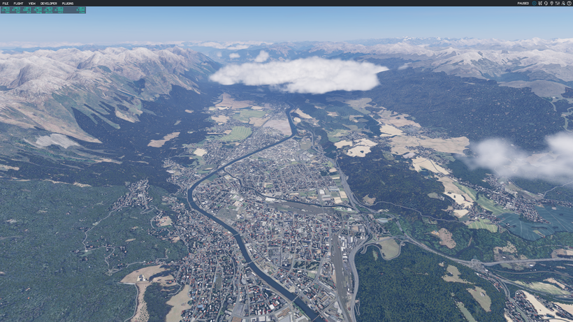
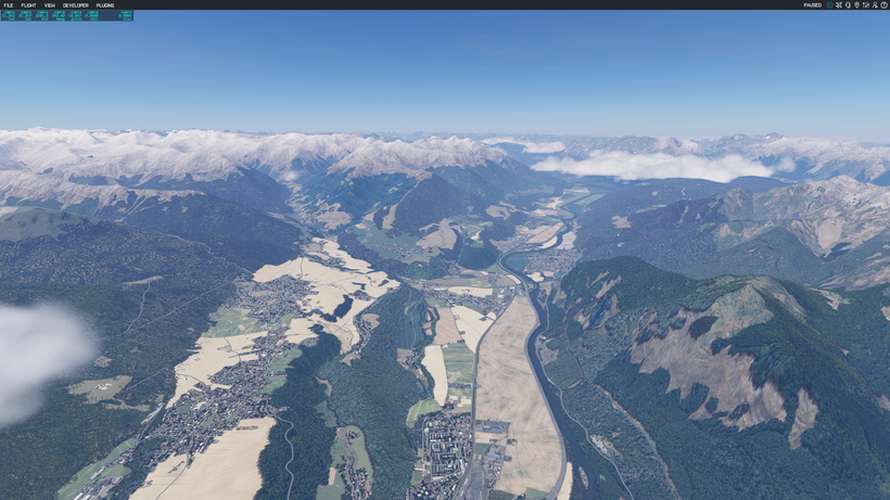
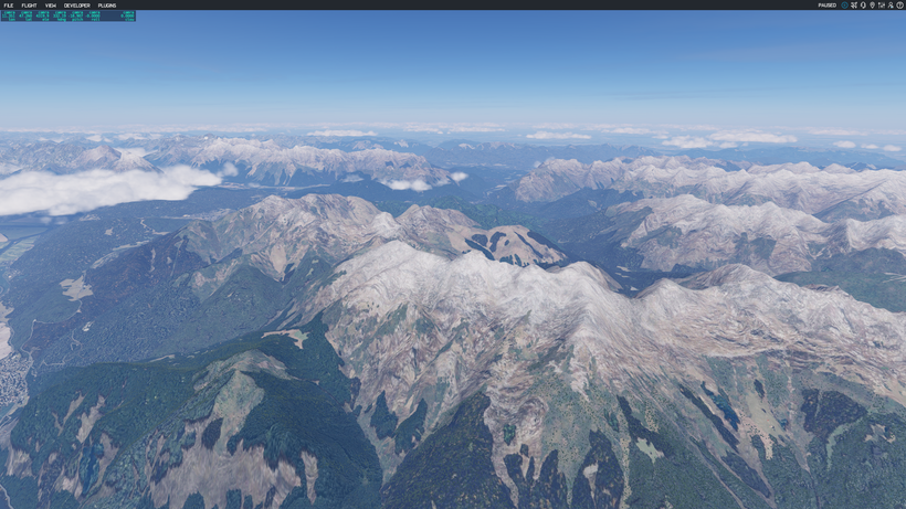
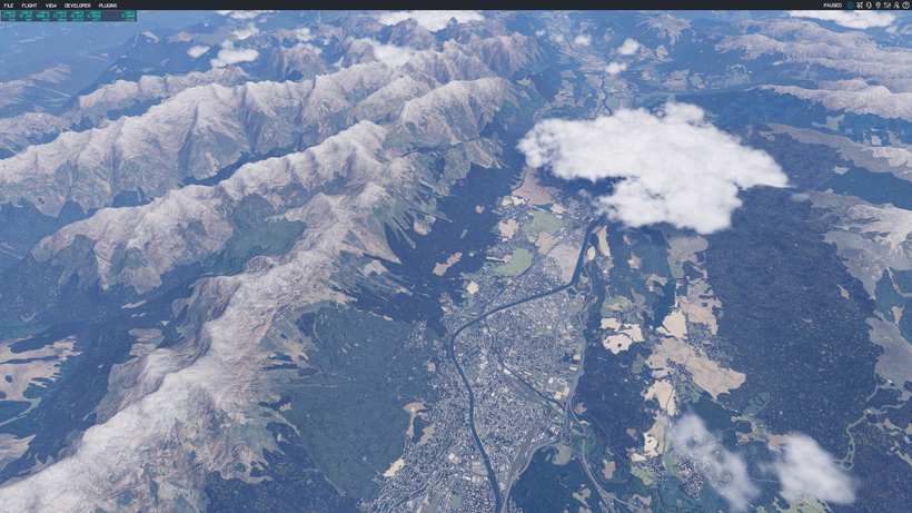
Have a look at these results from the tile +47+011, which is where the LOWI airport (Innsbruck, Austria) is located.
It should be noted that the renders do not contain any shadows for any mountains or hills. The shadows, and shading, you see in these screenshots are performed by the X-Plane simulator's graphics engine - giving those mountains a truly realistic look and feel.