|
|
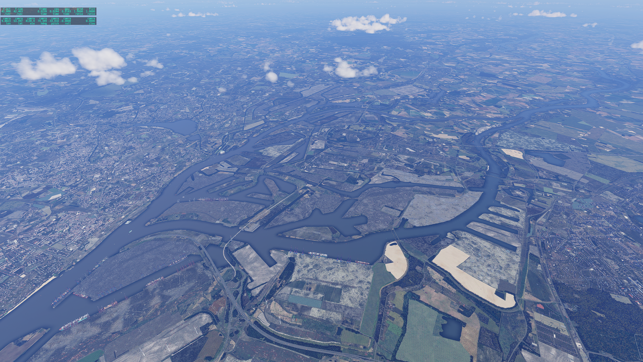
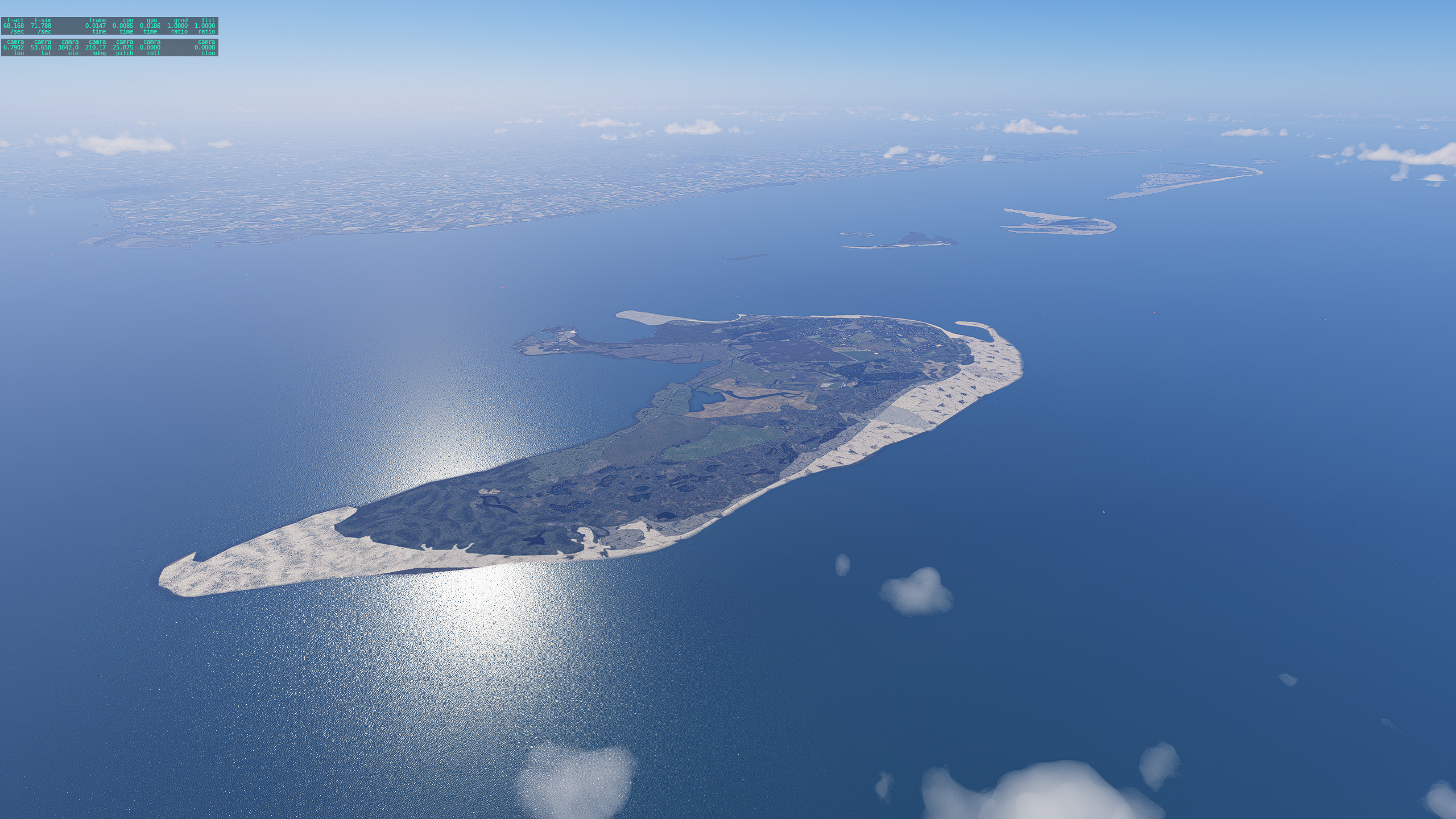
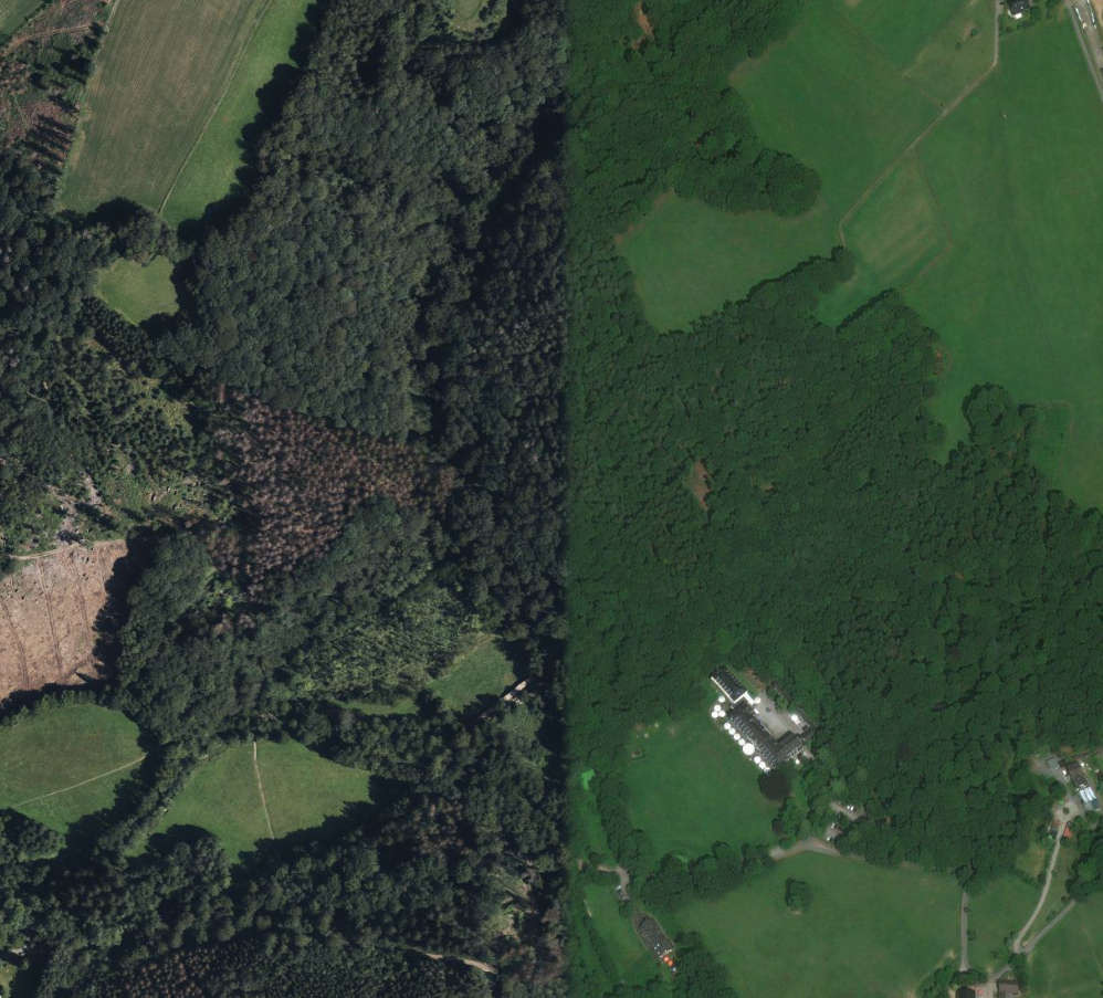
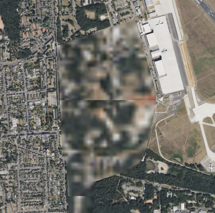
Discoloration through stitching. Weather situations. Seasons. Pixelation.
Satellite imagery is the most realistic imagery you could ever obtain for many use-cases, including flight simulation. It provides a 1:1 copy of how the world looks from above, and has given us a perspective of the world, unseen and unheard of before this was possible. Countless satellites orbit the earth to shoot these photos - but the process is not perfect.
The imagery is combined in a process called stitching as some material is not usable. In this situation, material from other passes over the same location is being used, and "stitched" together.
And this is where challenges for digital clone cases start to emerge.
|
|
Challenges are made to be mastered.
To some sim pilots, the challenges that come with satellite imagery is reason enough not to use it, and thus prefer to use standard or other ground imagery. The challenge appeared to be insurmountable.
What initially began as a technical feasibility test, turned into a complete project to master the challenges of satellite imagery.
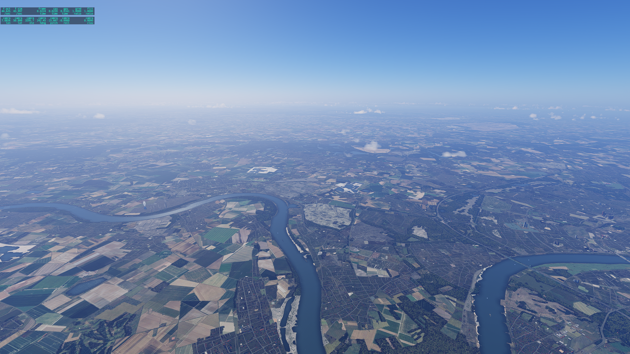
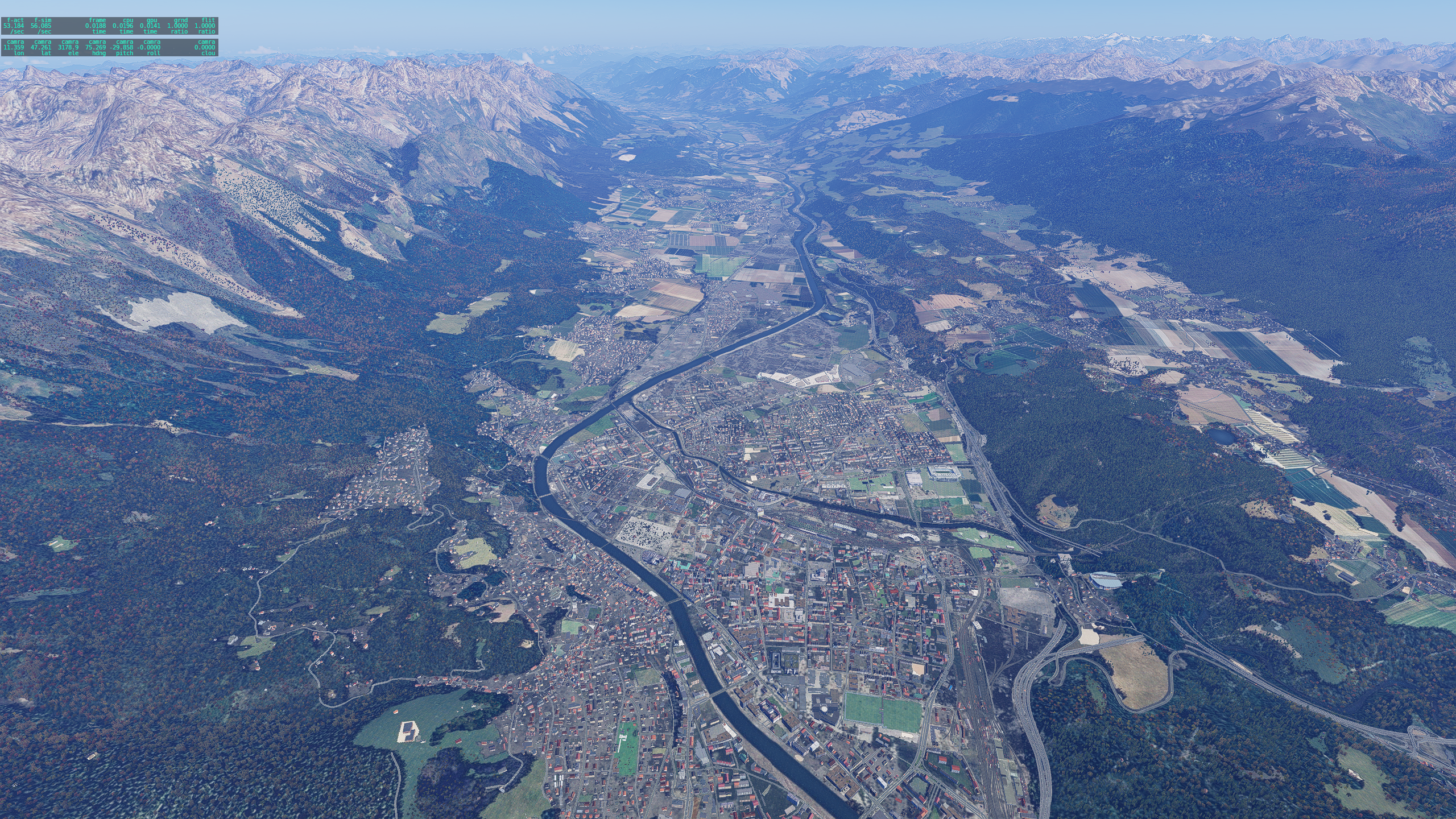
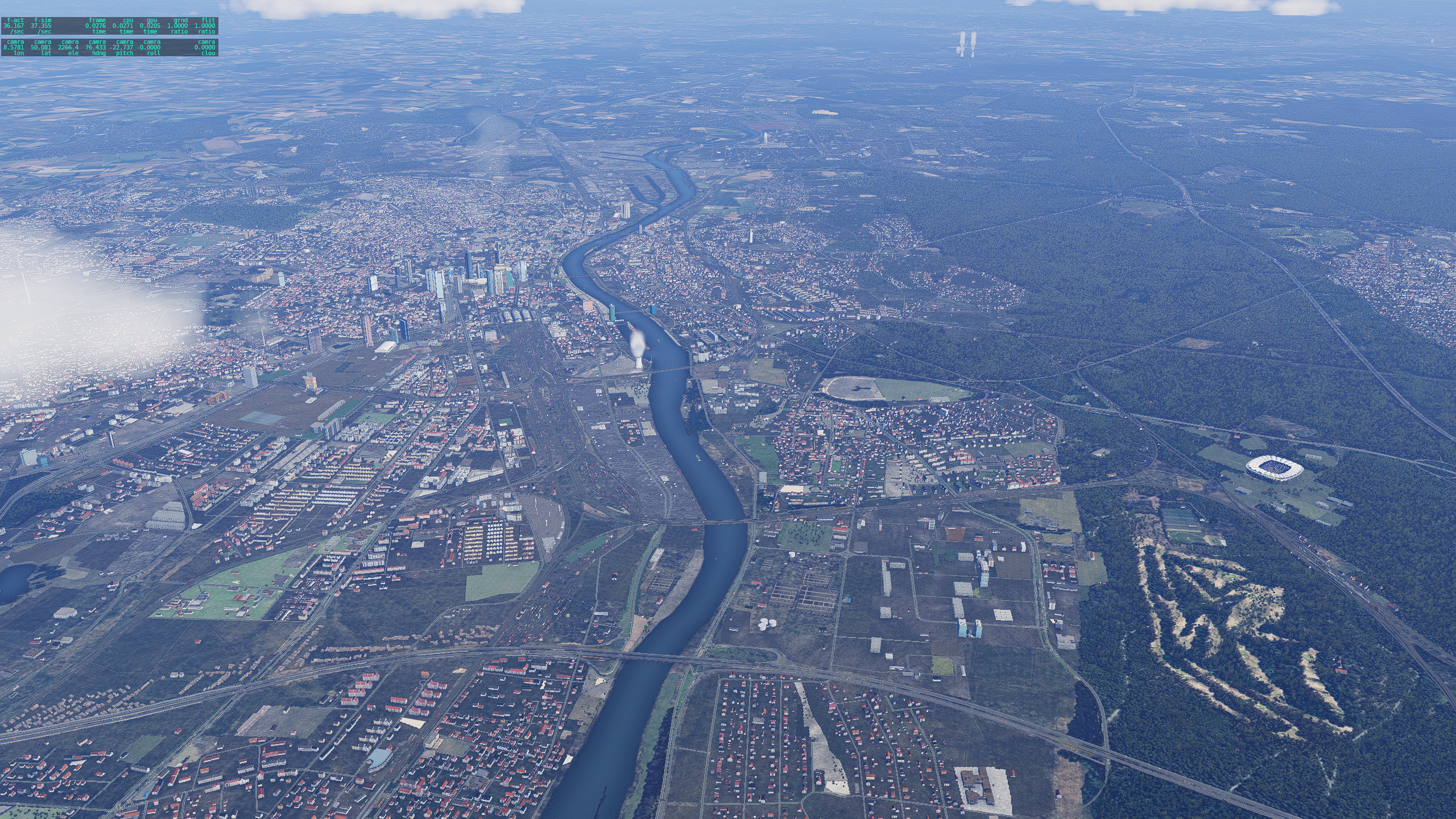
Orthographic does not rely on, and does not use satellite imagery at all. Instead, imagery is generated from data alone.
|
|
|
|
|