|
|
OpenStreetMap data as its cornerstone
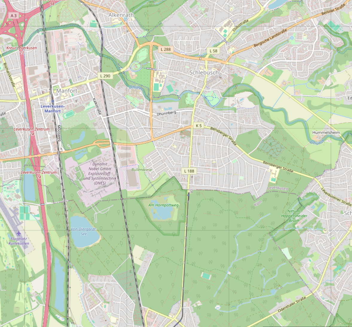
To generate high-fidelity ground imagery that does not rely on existing satellite photos, there is only one logical path: pure data and information. The most accessible and comprehensive source is OpenStreetMap (OSM). Readily available for anyone, Orthographic utilizes OSM vector data as the absolute cornerstone of the generation process.
This data is tailored to a specific area—namely a complete latitude and longitude tile—and converted into a highly optimized file structure. From there, Orthographic's Python-based engine generates the final high-resolution renders, translating raw geographic vectors into organic, seamless terrain textures.
But usable data alone is not everything. It takes advanced synthesis to turn shapes and lines into a living world.
|
|
Layer by layer, it all comes together
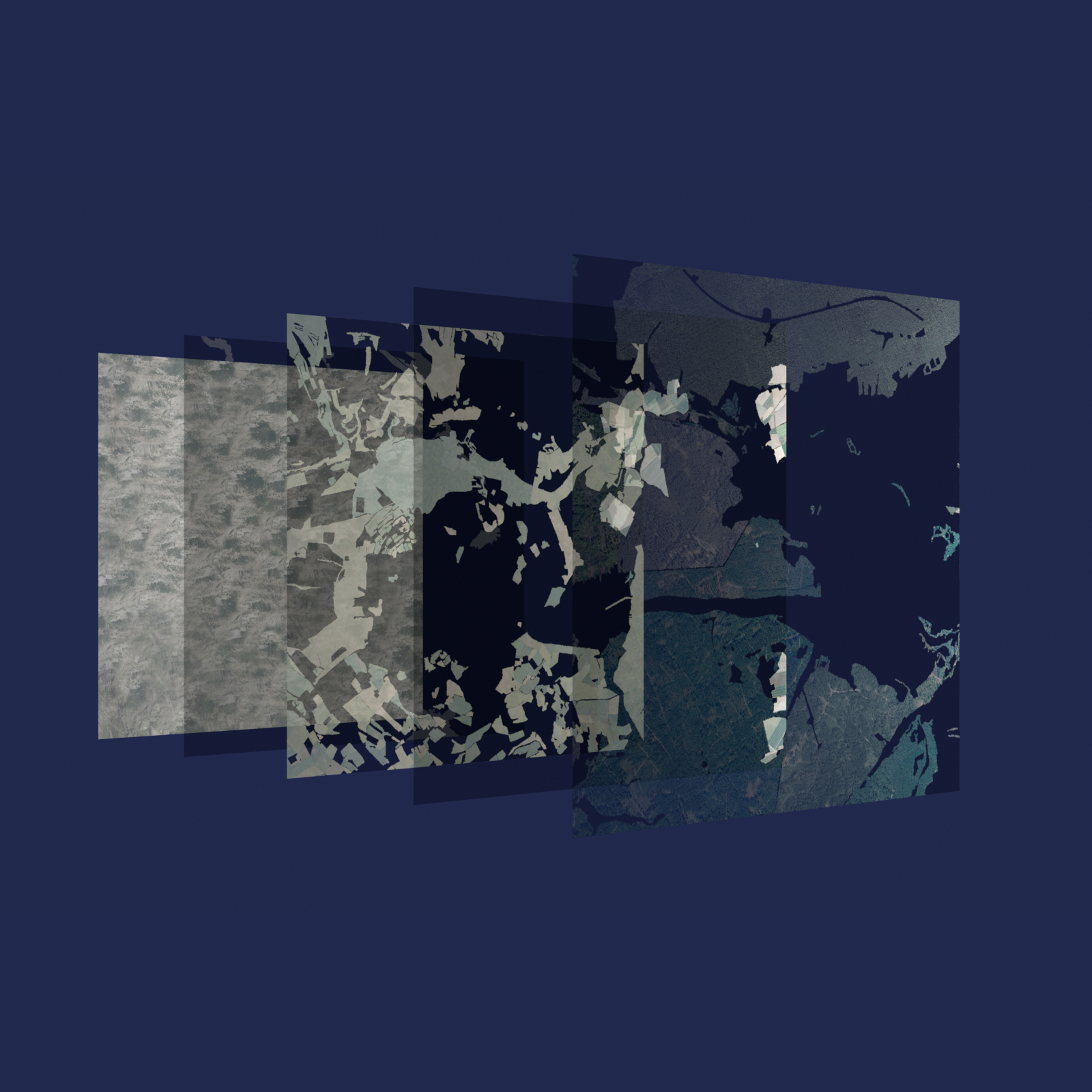
Once the data is categorized, the renderer walks through a carefully collected list of ground layers, from bottom to top. The renderer makes sure that the final image does not have any empty areas - a mechanism that was added early as OSM data is not complete.
The renders are temporarily kept, and are then ultimately merged into one final, cohesive image.
|
|
|
|
|
|
Keeping it consistent: BonnieTiler©
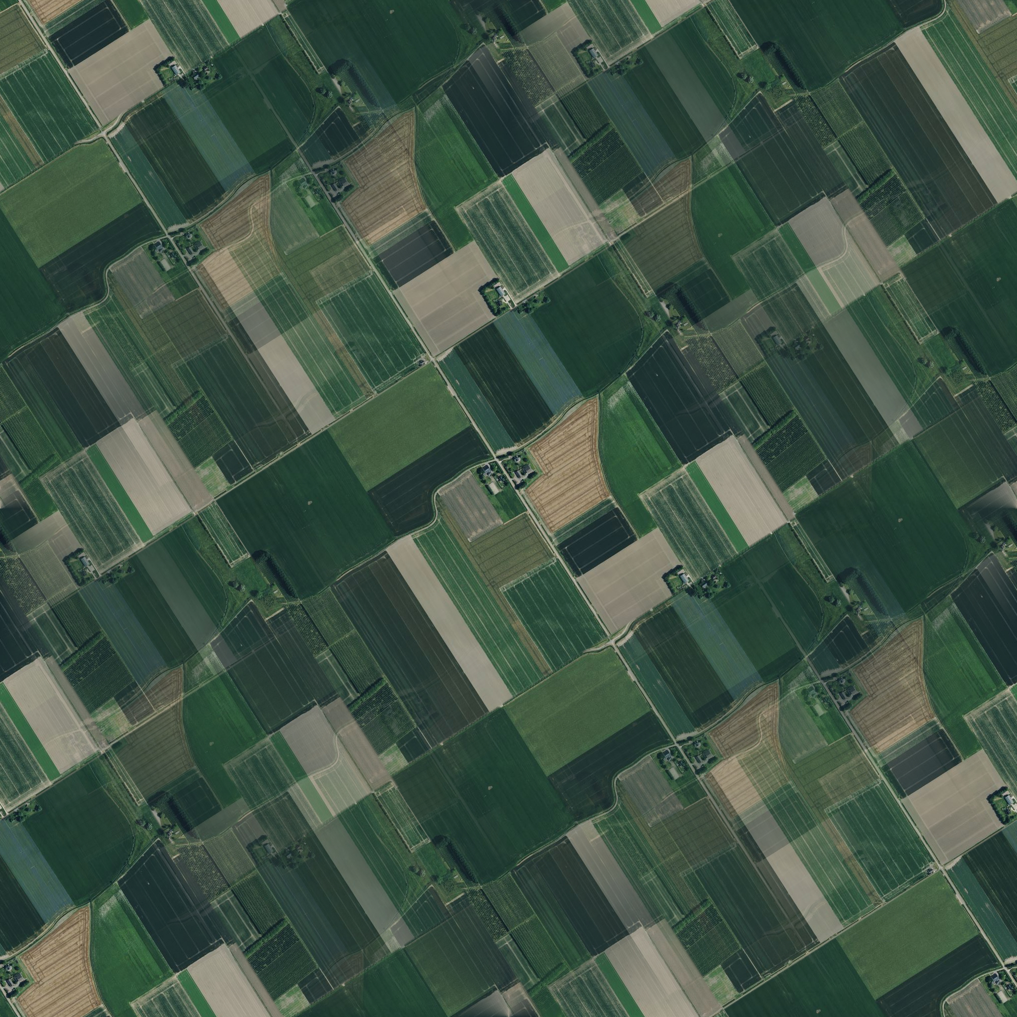
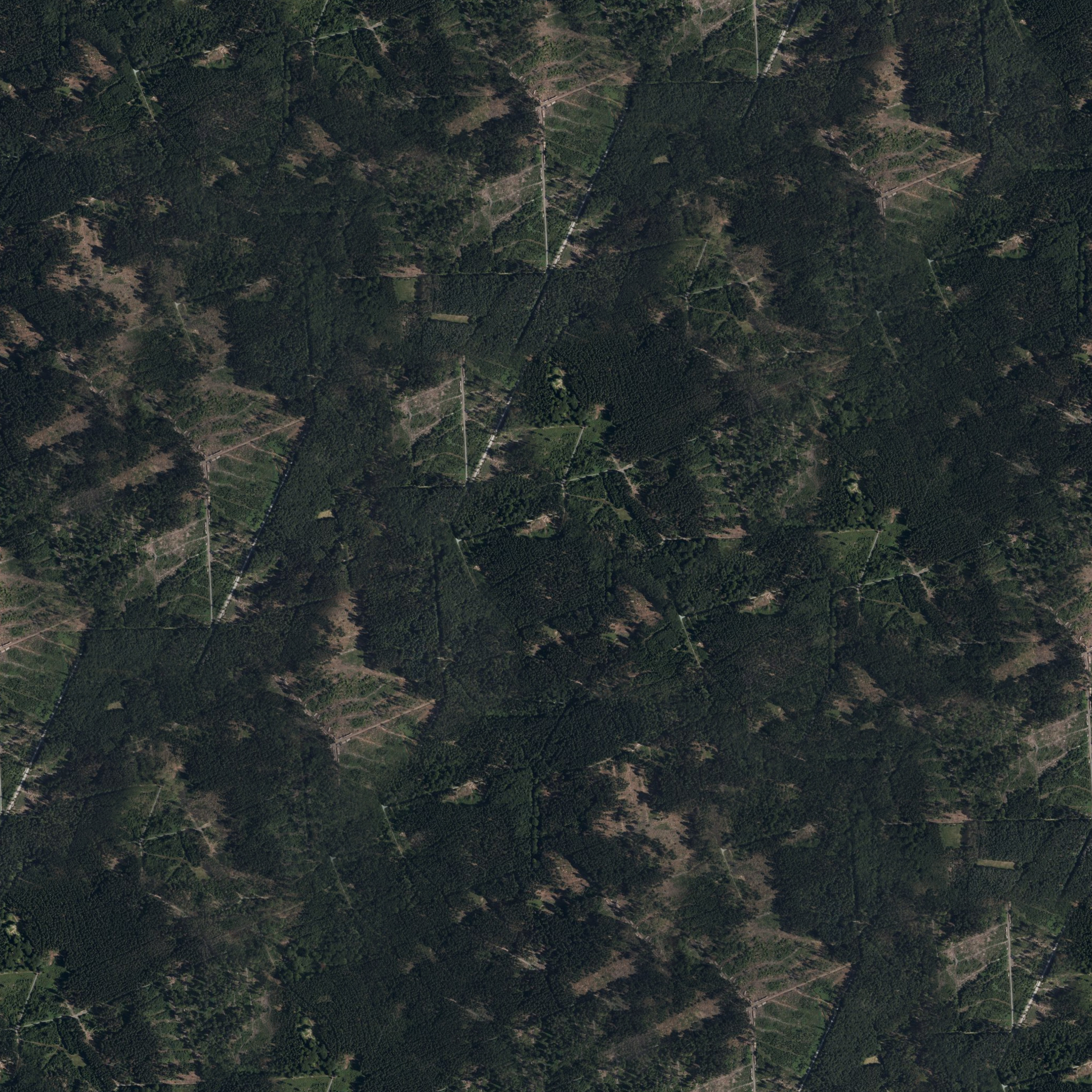
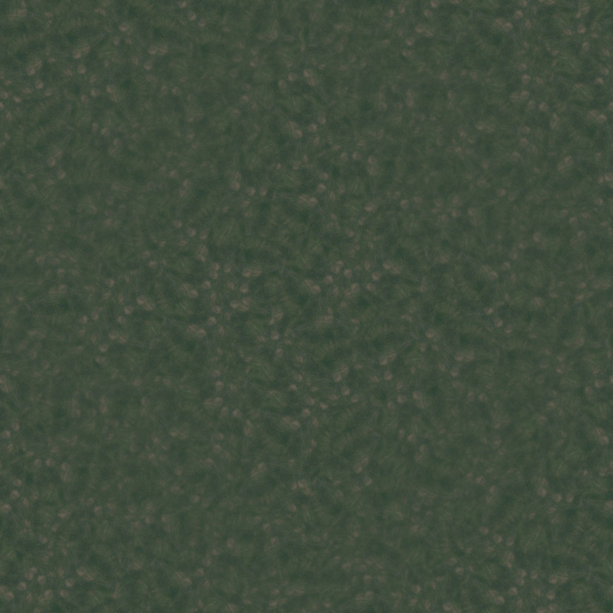
Every ground feature needs to appear as it does on satellite imagery: consistent - no matter how large or small. Orthographic makes sure this is happening when rendering textures.
Every Way ID from OSM is assigned one of the available resource images. Then, no matter where this Way ID appears, it will use the same graphical resource. As some Way IDs span across latitude and/or longitude borders, Orthographic checks all neighbor tiles for the existence of the Way ID elsewhere - and if it is found, it uses the already assigned resource.
Through this mechanism, Orthographic can keep imagery of any kind consistent across every border - inside and outside the tile.
|
|
|